

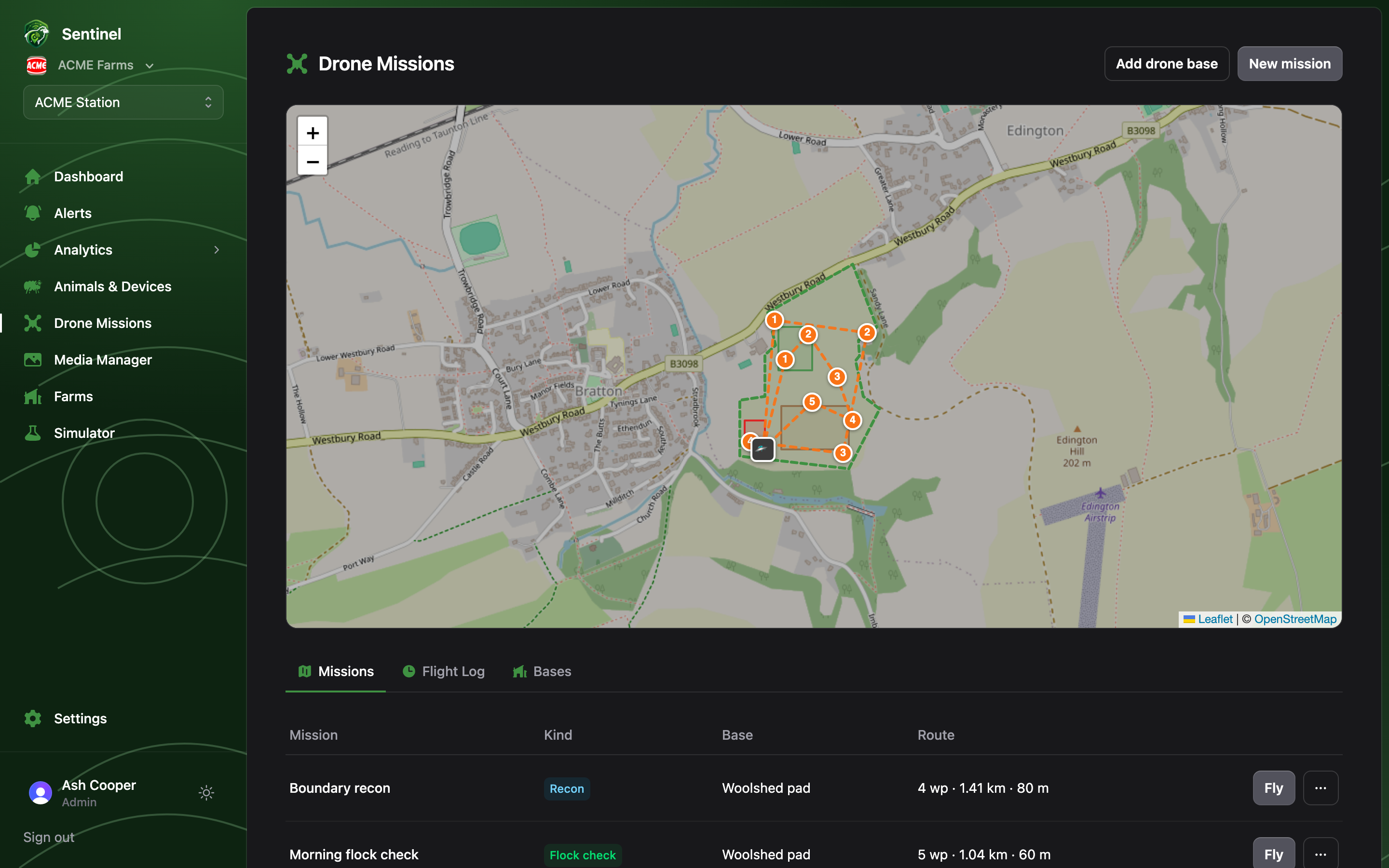
The map
Saved missions draw as dashed routes with numbered waypoints; click a mission name in the table to focus the map on just that route. Drone bases show as 🛸 markers. During a live flight you’ll see the drone itself moving along the route — phase, current waypoint, altitude, battery and ETA in its popup — and for alert-response flights, a 🎯 marker on the animal’s last known location.Missions
Every mission has a kind — Flock check, Recon, Alert response (plus the system-managed Drone Response mission used by alert rules) — a base, and a route summary (waypoints · distance · altitude). Anyone on the farm team can:- Fly — queue the mission now. The button reads In flight until it’s done.
- Download KML (Google Earth, Litchi) or DJI KMZ (Pilot 2 wayline) from the row’s ⋯ menu — so the same route can be flown by a real aircraft.
Flight Log
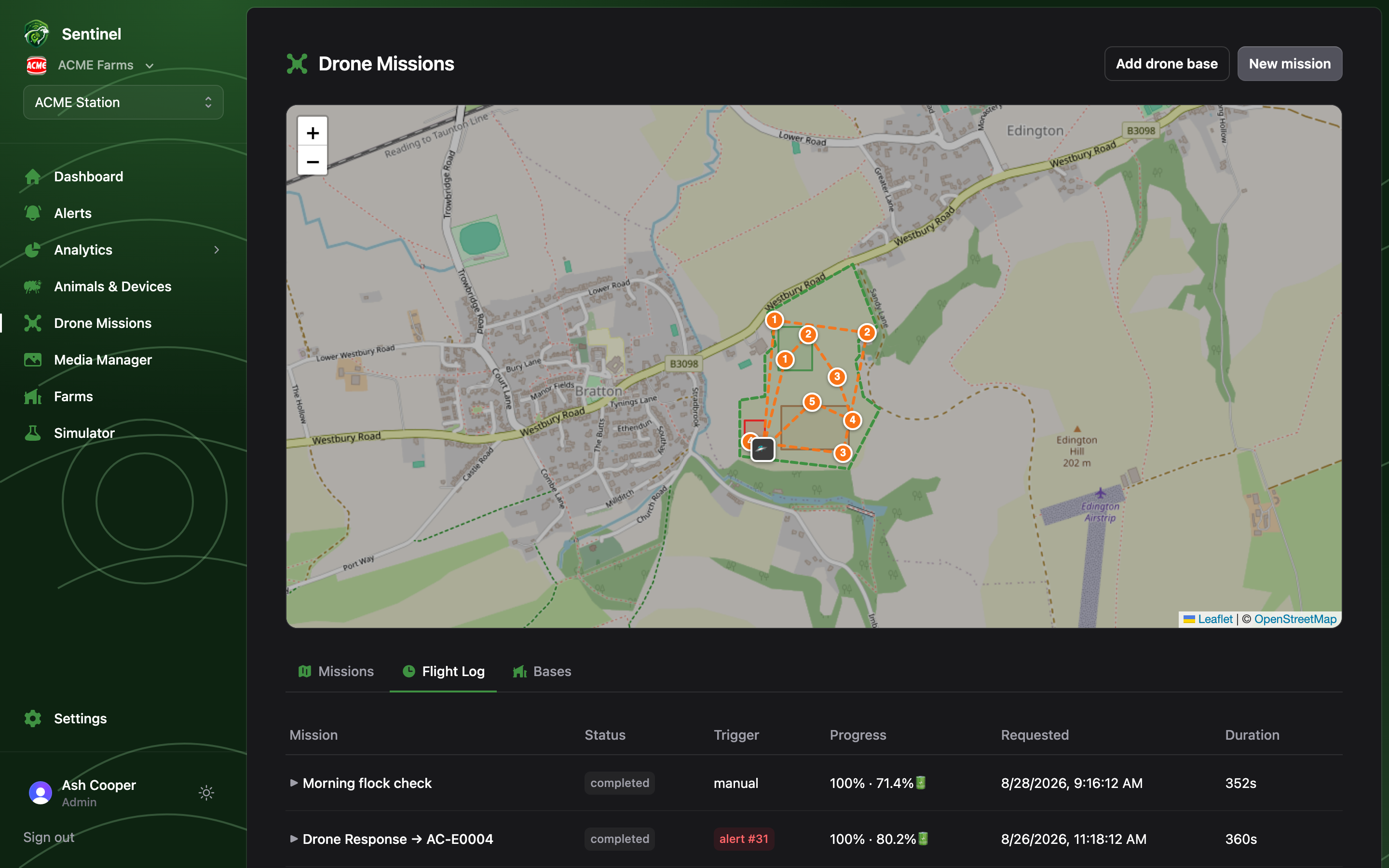
If the banner says the simulator service is offline, queued missions wait on the
ground until it’s back — an Admin can check it from the
Simulator page.